Whisky springs campground
- Distance: 1.7 Km
- Elevation gain: 24 m
- Maximum elevation: 974 m
- Elevation loss: 24 m
- Minimum elevation: 953 m
- Moving time: 24 m 54 s
- Moving speed: 4.2 Km/h
- Maximum speed: 14.7 Km/h
- Total time: 24 m 54 s
- Global speed: 4.2 Km/h
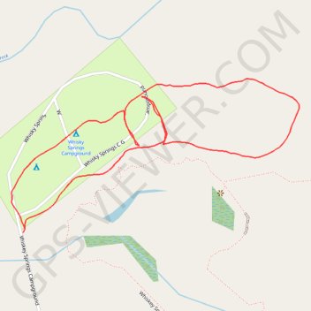
Interactive trail map
Trail profile
- Distance: 1.7 Km
- Elevation gain: 24 m
- Maximum elevation: 974 m
- Elevation loss: 24 m
- Minimum elevation: 953 m
- Moving time: 24 m 54 s
- Moving speed: 4.2 Km/h
- Maximum speed: 14.7 Km/h
- Total time: 24 m 54 s
- Global speed: 4.2 Km/h
About this trail
Name: Whisky springs campground trail, distance, elevation, map, profile, GPS track
Start: Whiskey Springs Campground, Jackson County, Oregon, United States (42.49891 -122.41391)
End: Whiskey Springs Campground, Jackson County, Oregon, United States (42.49894 -122.41399)
Coordinates: 42.49645 -122.41971 42.49903 -122.41317